Engineered to improve surveying and mapping
Drone mounted LiDAR Scanner
UAV LiDAR System
Product summary
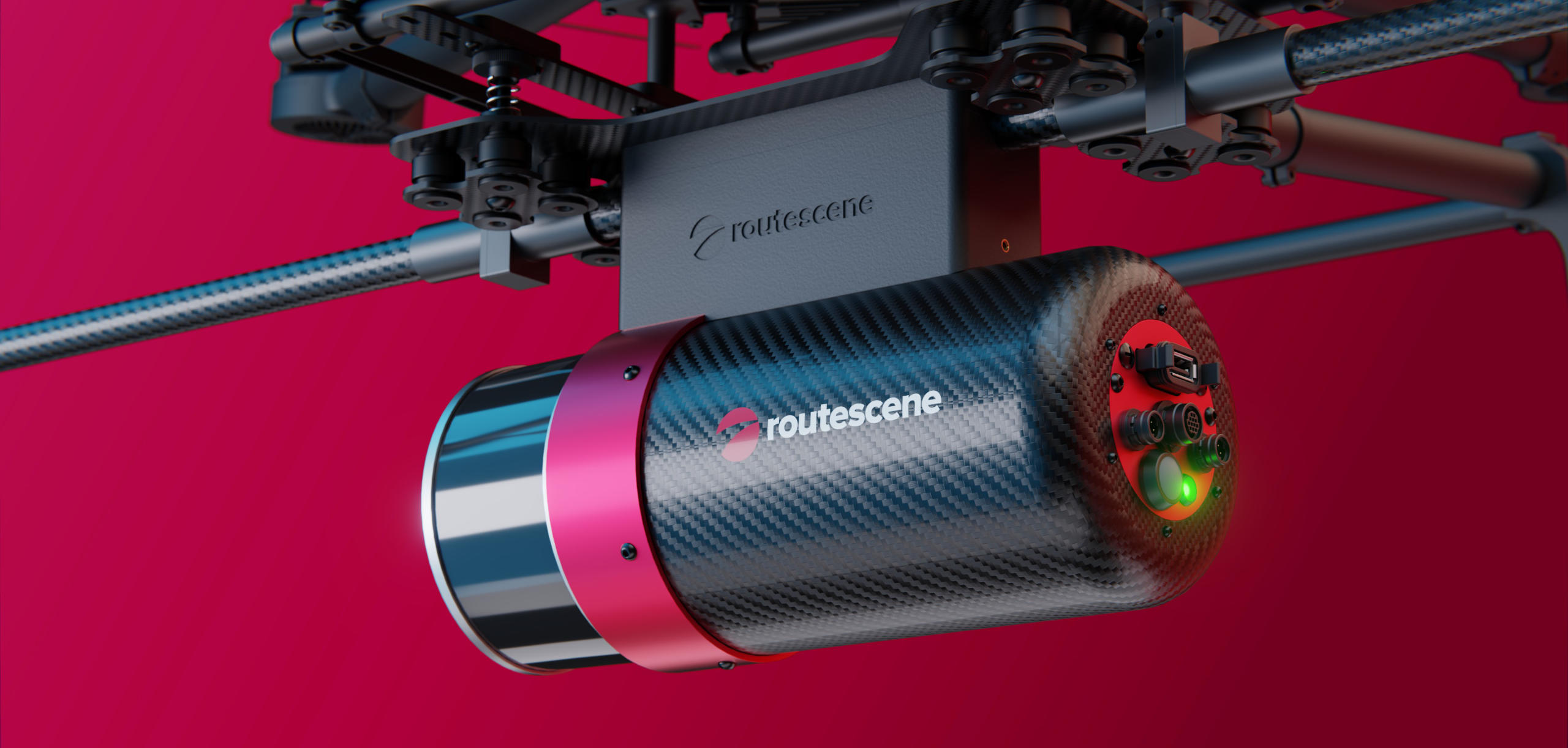
The Routescene UAV LiDAR System provides high accuracy scanning for various applications. Different LiDAR configurations can be specified to suit relevant uses, from mapping and archaeology to forestry and environmental surveying.
Categories
Professional Equipment Design
Re-engineered for ease of use and robustness
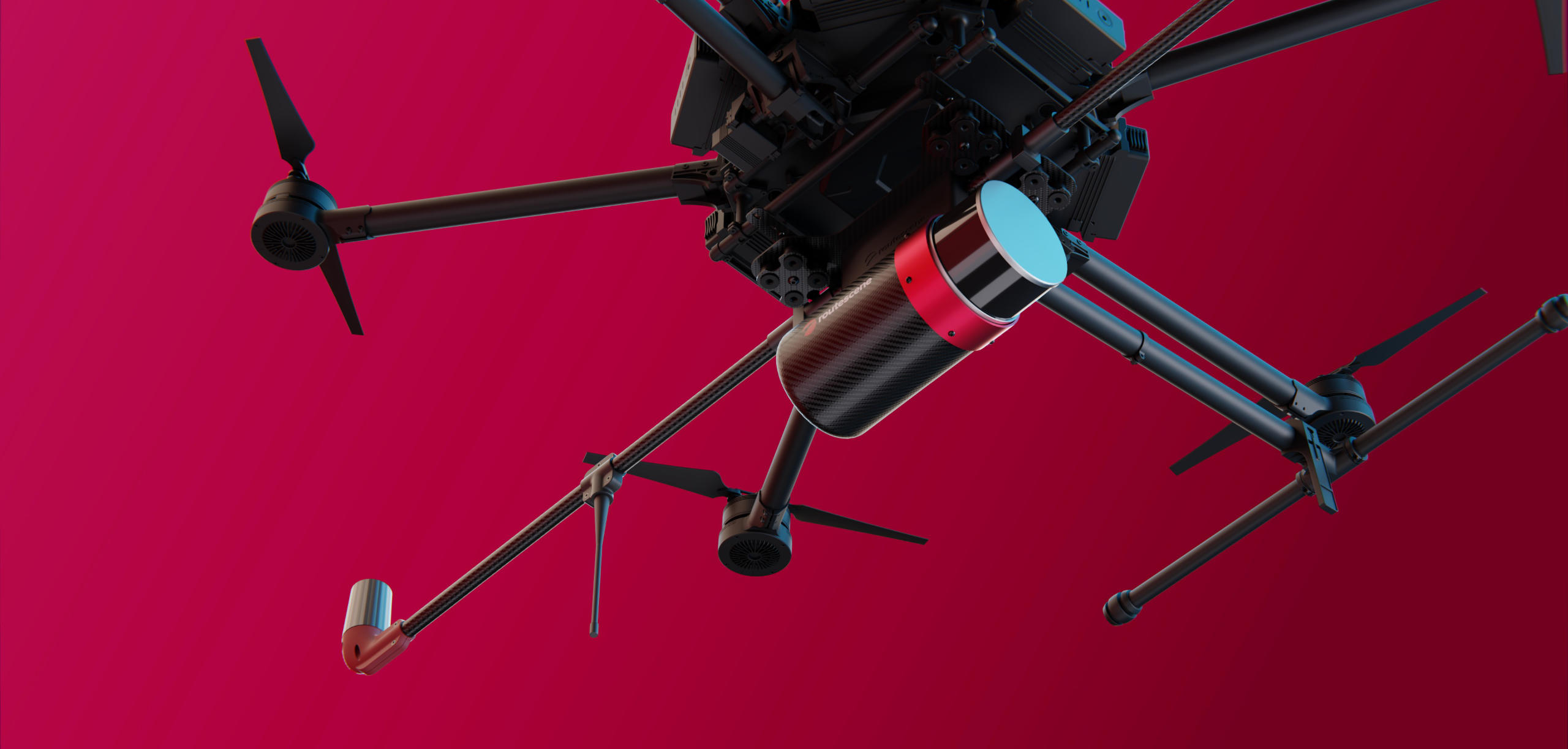
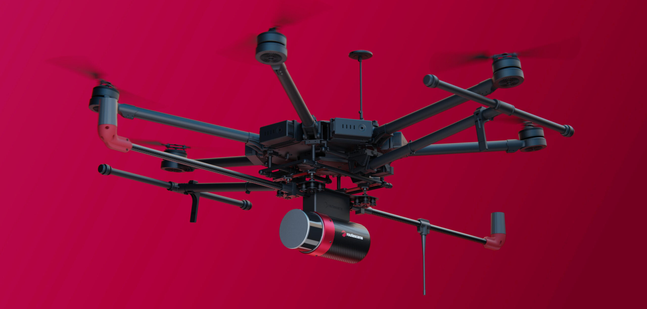
Vivid Nine helped Routescene re-engineer their UAV system, improving deployment time in the field. A quick-release connection and foldable antennas allow for rapid deployment and setup.
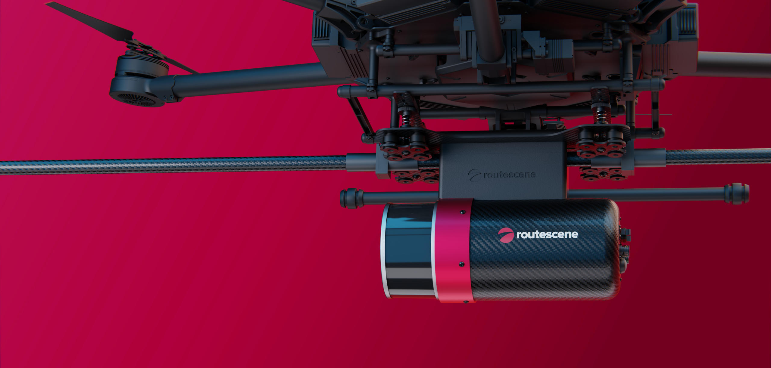
As part of the process, various components were also redesigned and engineered to improve manufacturability and assembly time. Other improvements included increased weather resistance and consolidation of unnecessary components.
Potential Applications Include
- Forestry: Assists in vegetation mapping, biomass estimation, and forest management.
- Environmental Monitoring: Enables accurate topographic surveys to assess landforms, erosion, or changes over time.
- Archaeology: Captures detailed terrain models to identify hidden structures or landscapes.
- Construction & Engineering: Supports infrastructure planning, monitoring, and progress tracking.
- Flood Modelling: Generates data for hydrological analysis and flood risk assessments.

The UAV LiDAR System comes in three configurations (RS1, RS2, RS3), each configuration catering to specific applications. The systems are designed to fit various drones, reducing reliance on a single model. USB3 allows for rapid data download, which can then be used with Routescene software for efficient data processing.

UAV LiDAR systems and software can be used to detect and map battlefield features which can be indicators of minelaying. The UAV LiDAR data provided evidence of trenches, craters and foxholes at all the sites surveyed, features which were either not detectable or only partially visible in satellite imagery or during field visits.
